Ok probably a handy dandy tech solution here . Have heard the term geo fencing but is there a tech savvy way for tracking utilities on a map? Im thinking like a GPS point system where you mark the appx location of a sewer system / water system , shutoffs?
Essentially to replace a system like attached picture where you know where the lines run for future reference?
Currently used the old fashion system where i do a screen shot of the park on google and then try to draw lines on it. Who has a good system on this. Maybe then there is even a spot you text to another iPhone and boom there it is.
1 Like
This seems like a fine idea. There’s also putting flags or spray paint on the ground, but I assume you’re talking about a map not physically marking the ground.
1 Like
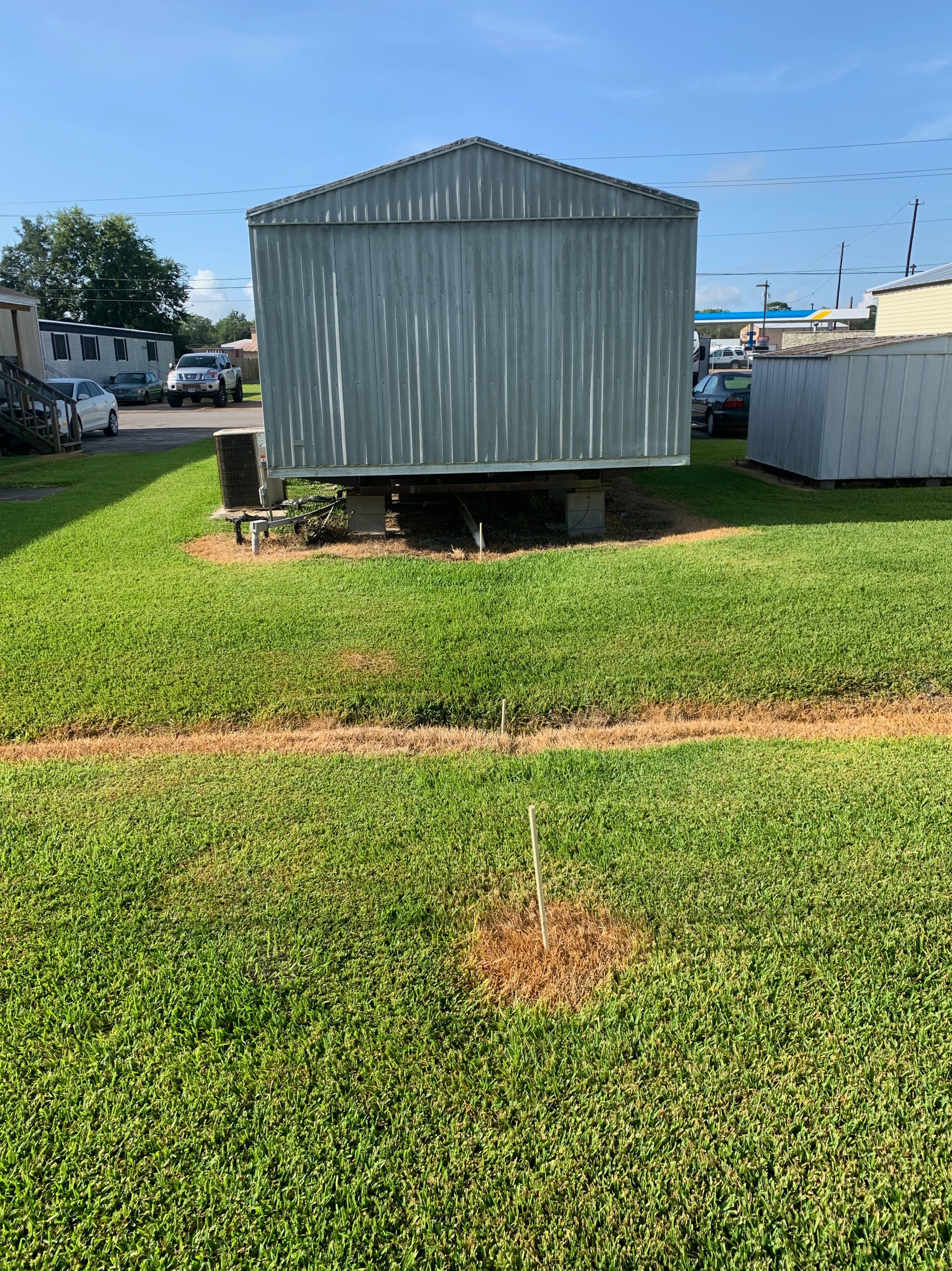
I was thinking more of a permanent marking identification system . Flags always disaster, or paint grows out with the grass. And sometimes you get clean outs that arent high enough and start to disappear under dirt. Have also had this issue with man hole covers. or if you have zoned shutoffs . Where its all documented and in the property info so whoever answers the call can check the dropbox and walk someone through. Or like a point where a main crosses over a road. I guess you are locating when you do the repair but thing more in terms of “pro active”